A Field Operations Platform for Ecological Surveys
How we designed an interactive mapping tool with GPS tracking, geolocated sample collection, and field team management.
Project Screenshots
Explore the interface in desktop and mobile view
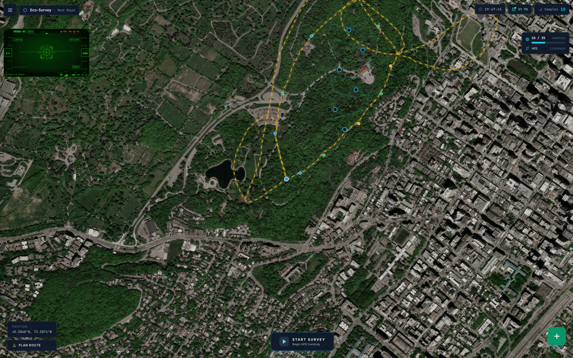
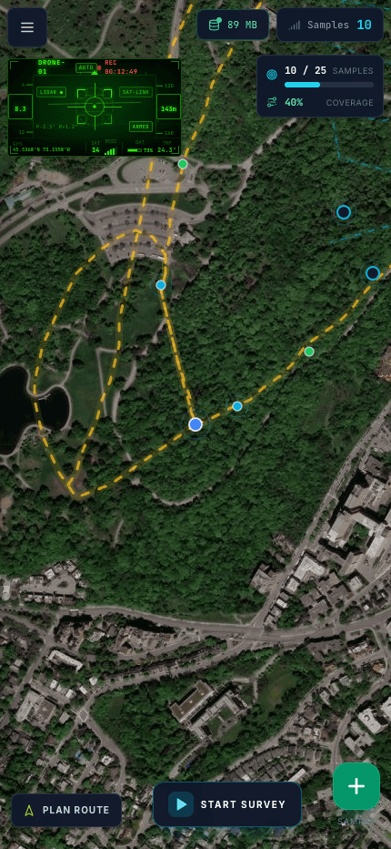
Map — GPS tracking and collection waypoints
The Problem to Solve
Field teams conducting ecological surveys used paper forms, separate handheld GPS, and spreadsheets to compile data. Team coordination was difficult, data was often lost or poorly georeferenced.
Data collection on paper forms — risk of loss and errors
Separate handheld GPS without link to sample data
Difficult coordination between field team members
Manual data compilation after each field outing
What We Built
We developed Eco-Survey, a web platform with interactive Leaflet maps, real-time team GPS tracking, geolocated sample collection (flora, fauna, soil, water), optimized route planning, and field report generation.
Interactive Map
Leaflet map with terrain layers, geolocated waypoints, and satellite/drone view for planning.
GPS Team Tracking
Real-time position of each team member with status and battery level.
Sample Collection
Quick entry form with automatic geolocation, categorization (flora, fauna, soil, water) and photos.
Field Reports
Automatic generation of printable reports with data, maps, and outing statistics.
Tech Stack
Frontend
Infrastructure
Results Achieved
The measurable impact of our solution
Have a Similar Project in Mind?
Book a free consultation to discuss your needs and get an estimate.
How would you like to proceed?
Book a call
Let's discuss your needs directly. It's the fastest way to validate your project.
Send a Message
Describe your project in a few lines and I will reply within 24 hours via email.